Most Cal-Spirited
@tanvu32 is all smiles repping Cal gear!
Where else can one find a large, concrete yellow “C” on top of a hill? The Big C is known for offering an unbeatable view of the Cal campus. You can reach the trailhead by going through the Foothill parking lot. After the 15-minute, semi-steep hike, you will be able to see the campus from a whole new perspective. Take in the architecture of Berkeley’s major structures—most of which were built by women. Women were behind the creation of the Hearst Mining Building, the Haas School of Business, Berkeley Law, Bowles Hall, Stern Hall, Sather Gate, the Campanile, Morrison Library, Morrison Memorial Music Building, Haviland Hall, and the Valley Life Sciences Building.
Family-Friendly
@jessicayamauchi enjoying post-sunset views with a friend.
The Claremont Canyon Regional Preserve is one of Berkeley’s hidden gems, and its trails are fun to explore for adults and kids alike. Starting at the east end of the lower Dwight Way at Fernwald Road, you will find an uphill trail that leads to the park. During your hike, the hills, tall trees, and chirping birds and crickets will give you your daily dose of nature and the wilderness. After approximately 10 minutes, you will find a large rock next to a hill, where you can sit and admire an excellent view of the Bay and the Golden Gate Bridge. Depending on the time of day, this peaceful spot lets you watch the sun sink into the Pacific Ocean. When you are ready to get back up, you can take the trail up to Dwight Way, go left, and make a loop to return to campus.
Most Idyllic
@kentschen checking out views of the Bay!
Lake Anza is a picturesque recreational swimming reservoir in Tilden Regional Park. The water is calm and still, reflecting the gorgeous encircling forest. Begin by going through the Berkeley Rose Garden. Stay on Euclid until you reach Tamalpais Path at the end of Codornices Park. Take the steps to Tamalpais Road and turn left twice to get on Shasta Road. There could be fruit to pick along the path, so keep your eyes peeled for a sweet mid-journey treat. Once you arrive at Grizzly Peak Boulevard, turn left and Shasta will soon continue on your right. For the most breathtaking route, stay on Shasta until you reach Selby Trail, which will lead to the lake.
Approved by a Cal Alum Athlete
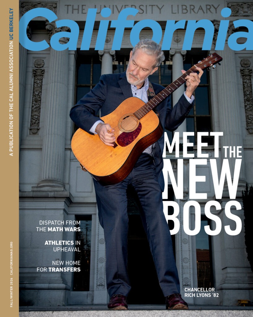
Image courtesy of California magazine
If you ever find yourself on the trails that run along the Berkeley Marina, you might spot Cal alumna and track and field elite athlete Alysia Montaño ’08. Starting at her house near Fourth Street, Montaño likes following the San Francisco Bay Trail and running Berkeley’s bicycle-pedestrian overpass. Then, turning around, she runs along César Chávez Park. If running is not your thing, this route is also perfect for bike-riding and walking.
Bring Your Cal Spirit to the Path You Pick
We know Golden Bears rally until the very last step, no matter where we are in the world. Bring your Cal spirit with you even when you’re not in Berkeley by sporting your Cal gear. If you’re looking for some Cal gear inspiration, check out participants from our Most Cal-Spirited run here. Happy running or walking, and Go Bears!


