A closer look at the lowest layer of Earth’s atmosphere.
Fotini Katopodes Chow, an assistant professor in the Department of Civil and Environmental Engineering, has made a specialty of studying the lowest level of the Earth’s atmosphere, called the boundary layer—or, as Chow put it, the place “where all the interesting stuff happens.” Occupying those critical 1 to 2 kilometers above our planet’s surface, the boundary layer is where we experience weather and where air pollution is emitted. It also happens to be one of the most unpredictable layers of the atmosphere.
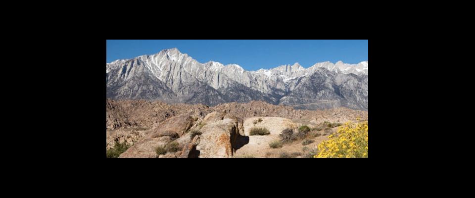
Most boundary layer models, limited by computational power, divide the landscape into a grid of uniform squares ranging in size from a couple of kilometers to a couple thousand kilometers, with each square represented by a single set of meteorological data. Such “mesoscale” models, employed by the National Weather Service, can provide large-scale weather predictions and are effective in places such as Kansas, where topography, humidity, soil use, and soil moisture are relatively uniform over broad stretches of terrain. But Chow, having studied areas with topographies as complex as the Owens Valley in Southern California, sandwiched between the Sierra Nevada and the Inyo-White Mountains, knows just how problematic those mesoscale models can be.“ If you’re in a valley that’s only 2 kilometers wide … you’re off the grid,” Chow said. A large part of her research is figuring out how to bring those neglected valleys back.
In the process, Chow has addressed many issues outside the traditional scope of meteorology—for instance, working to predict wind patterns accurately, assisting with the development of public emergency plans by modeling the dispersion paths of contaminants in urban toxic releases, and teaming up with scientists of other disciplines to model the moisture exchange between the atmosphere and the soil. This last is a project that could help scientists better understand another challenge of atmosphere science: global climate change.


