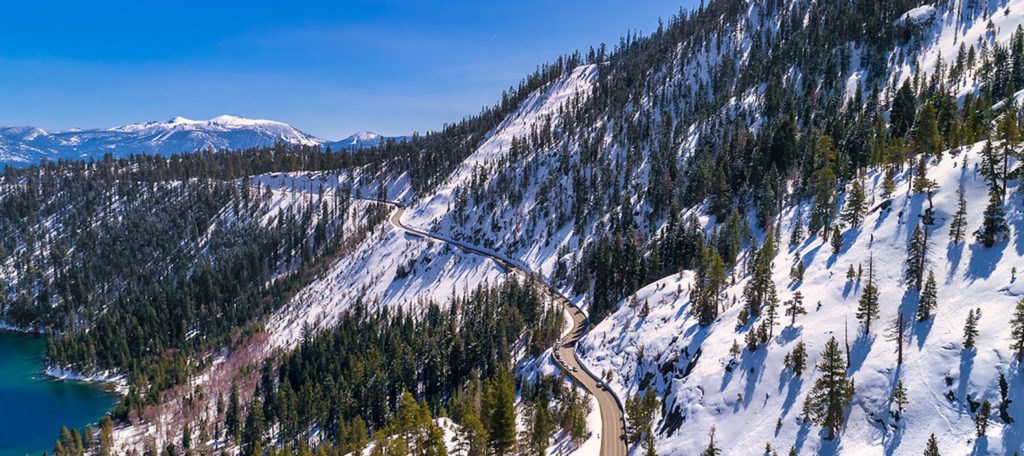


It’s the first big storm of the year and newspapers are buzzing with the hope that it will deepen the disappointing Sierra Nevada snowpack close to expected levels. A wet and dreary day is the perfect time to meet with earth science professor James Kirchner, who is dressed in a blue flannel shirt and hiking pants. He is an expert on water—specifically, what happens to it after it hits the ground.
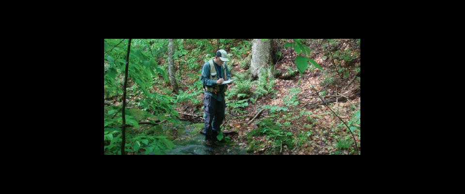
“Our biggest demand for water is in the summer and fall, but we get all our water in the winter and early spring,” says Kirchner as he looks through his window at the sprinkling rain. “How do you store all that water from the time you get it to when you need it?” The easy answer is Sierra snow, what Kirchner calls “water towers for the West.” The way that mountains hold and release water is still not understood, so Kirchner and Roger Bales at UC Merced are setting up a multidisciplinary research station near Fresno, one of three financed by the National Science Foundation.
Scientists predict that climate change will bring earlier spring snowmelt, meaning less water will remain by summertime, when California needs it most. The new $4.25 million center, known as the Southern Sierra Critical Zone Observatory, will create an avalanche of real-world data on soil moisture, snow depth, and tree growth. For example, no one is sure exactly how the rate at which trees draw water from the soil affects stream runoff. Kirchner will track minute increases in runoff caused when trees pull less water from the earth. Researchers from four other UC campuses (Merced, Davis, Santa Barbara, and Irvine) and from University of Nevada, Reno, will measure factors such as rock and soil erosion, and the effects of wildfires and logging on forest soils and water.